2014 (603)
2015 (255)
2016 (128)
2017 (95)
2018 (70)
2021 (46)
2022 (50)

上个周末父亲节时麻州安多福(Andover)的登山爱好者陈曦先生在登华盛顿山峰时遇难,在此表示哀悼,一路走好!
在New Hampshire的白山有一片总统山脉,由13个山峰组成,9座山海拔超过4000英尺,其中7座山峰命名为总统的名字:Mount Washington, Mount Adams, Mount,Jefferson,Mount Madison, Mount Monroe, Mount Franklin, Mount Eisenhower。
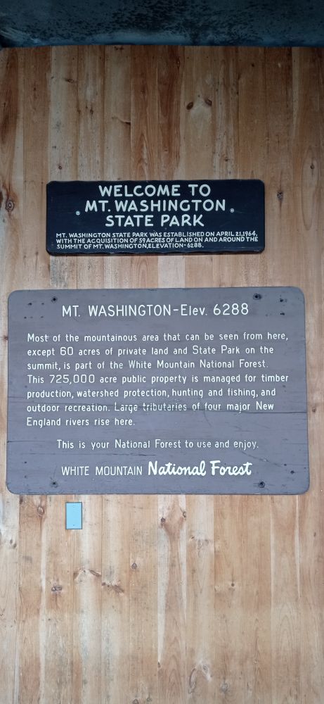
上个月Memorial Day长周末和LP到白山爬山。5月28日开车到达白山已经过了中午,决定到华盛顿山去。1784年Reverend Jeremy Belknap首先记录了华盛顿山峰。华盛顿山海拔6228英尺(1917米),是密西西比河以东最高的山峰。以风大,气候恶劣多变著名。不到山顶上很难想象狂风像脱缰的野马,冰雨刺骨撕心裂肺之寒冷。
来到山底下,正在下着小雨,决定乘火车上山,车票每张$35。蒸汽机车拖着一节车厢沿着西坡从海波2700英尺(820米)的地方向山顶爬去,到达海拔6228英尺的峰顶,升高了2528英尺(1097米)。上山用了1个小时,休息一个多小时,然后下山,共3个小时。
 乘坐这辆烧煤的蒸汽火车

火车车厢内


在这个道岔开始复线轨道


山坡很陡,LP说怎么树都是长歪的。
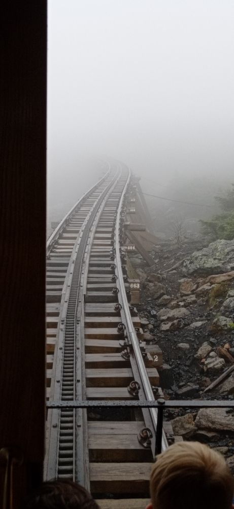
越往上面开,越是雨雾茫茫
看到铁路边上的下面是悬崖峭壁
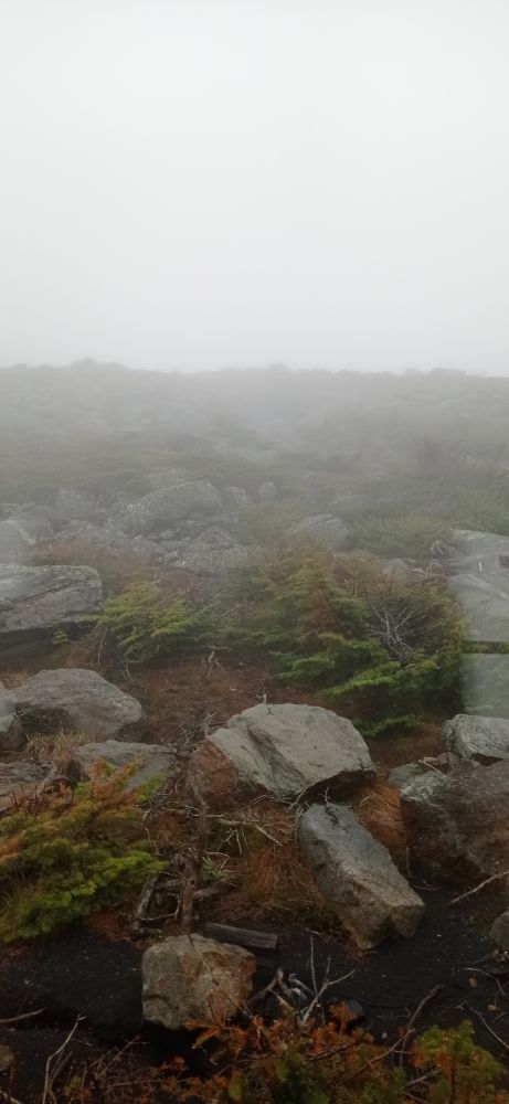
山上的植物越来越矮
山上可能有石墨,大部分是黑色的石头石片和风化后的黑土,很像煤炭

到了山顶,已经是狂风夹冷雨,极其寒冷,张不开眼,站立不住
山顶一个Mt. Washington Obsevatory Wheather Discovery Center,里面有一个餐厅,观察站的老仪器展厅,博物馆和礼品店,还有寄明信片的小店
人们都跑进去避雨


山上动物标本


观测仪器
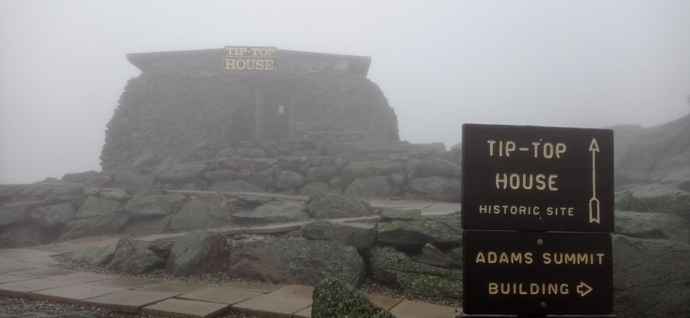
狂风极其狂烈,夹着冰雨,还有冰粒打得脸生疼,3米就看不见了
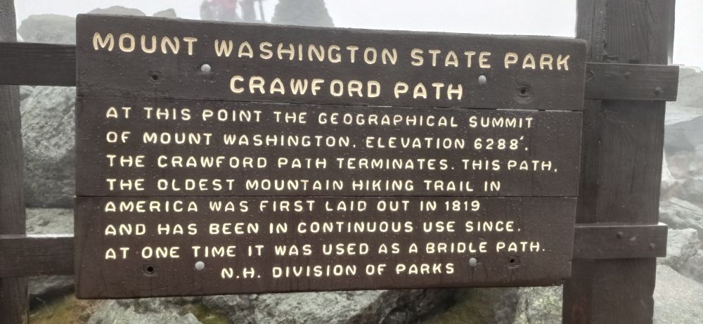

拼死也得到山顶处,根本无法站得稳,眼睛也睁不开,冷的瑟瑟发抖
终于到了山顶,可是视野只有3米,什么也看不见。
晴天可以看到波士顿,介绍说甚至可以看到纽约。

只能下山了

这辆车正准备上山

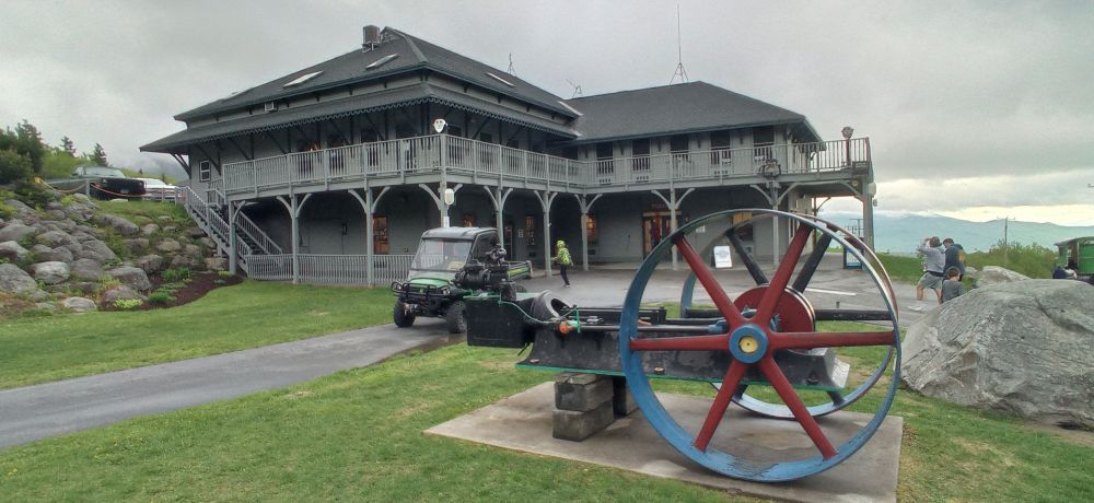
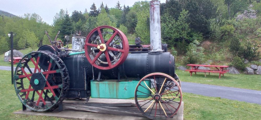
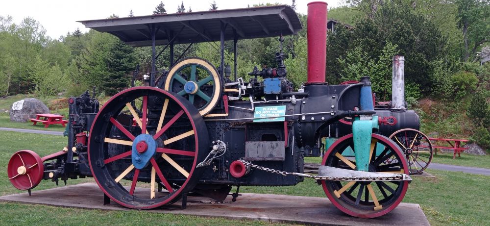

4代火车机车
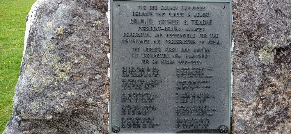
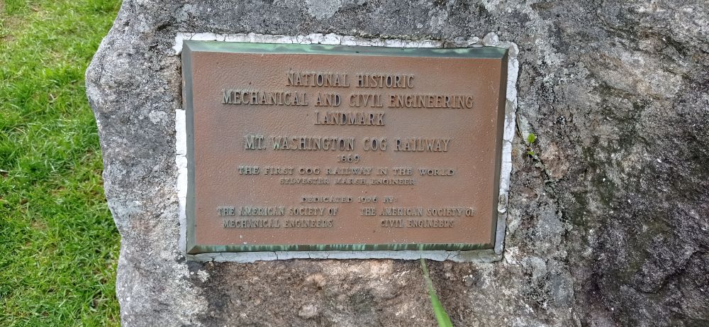
铁路已经建成了153年了

车站里铁路博物馆的蒸汽机车内部
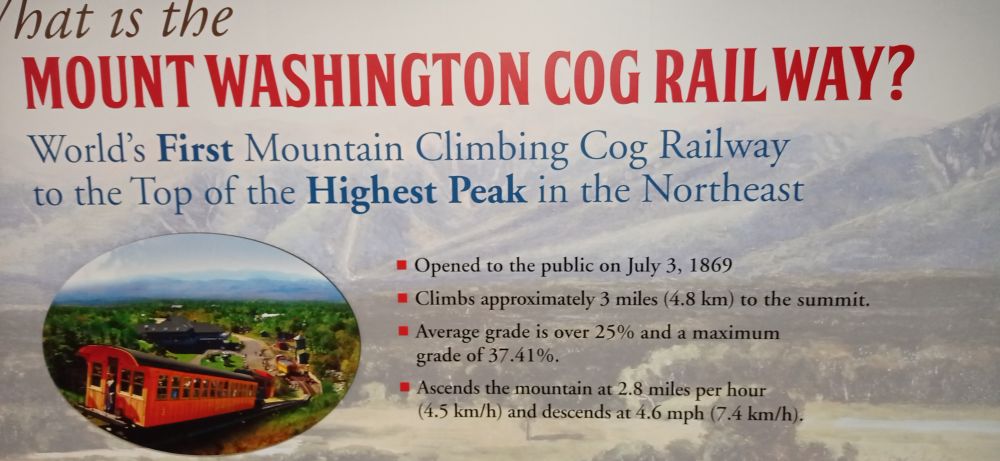
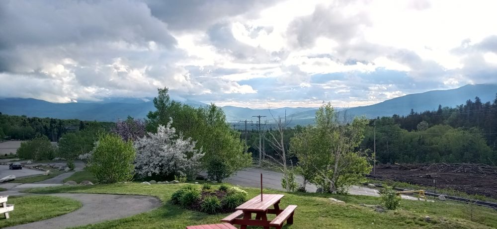
要走了,山下雨停了。
第二天是一个风和日丽的好天气,我还感觉有个遗憾,一是应该爬上山去,二是一览众山小,远眺波士顿。


LP说,开车的道路很险,有的就在悬崖边上。
Mount Mitchell
Mount-mitchell-south-nc1.jpg
Mount Mitchell, viewed from Mount Craig
Highest point
Elevation 6,684 ft (2,037 m)[1]
Prominence 6,089 ft (1,856 m)[1]
Isolation 1,189 miles (1,914 km)
Listing
World most isolated peaks 31st
North America isolated peaks 4th
US most prominent peaks 62nd
U.S. state high points 16th
Ultra
Coordinates 35°45′53″N 82°15′54″WCoordinates: 35°45′53″N 82°15′54″W[2]
Geography
Mount Mitchell is located in North CarolinaMount MitchellMount Mitchell
North Carolina, U.S.
Show map of North Carolina
Show map of the United States
Show all
Location Yancey County, North Carolina, United States
Parent range Appalachian Mountains
Topo map USGS Mount Mitchell
Climbing
Easiest route Hike
Mount Mitchell, known in Cherokee as Attakulla,[3] is the highest peak of the Appalachian Mountains and the highest peak in mainland eastern North America. It is located near Burnsville in Yancey County, North Carolina; in the Black Mountain subrange of the Appalachians, about 19 miles (31 km) northeast of Asheville. It is protected by Mount Mitchell State Park and surrounded by the Pisgah National Forest. Mount Mitchell's elevation is 6,684 feet (2,037 m) above sea level.[1]
好,下次开车上去。
正确决定,山顶天气变化无常,即使是夏天,刮风的时候也是极其寒冷。
危险的是真实的。
高处不胜寒,可想而知,珠穆拉玛峰上是多么的冷。
值得一去,须晴日。
还是想爬上去,晴天一览众山小。
秦岭没去过,秦岭和淮河是中国的南北分界线。
秦岭以北渭河,秦岭以南汉江。
这座山是白山山脉的最高峰,也是美国密西西比河以东地区的最高峰。较冷的北风浩荡从加拿大一路扫荡过来,没有更高的山峰阻挡。